Go to the portal

Home/Industries

One planet, many questions

The same orbit answers a farmer, an insurer and a port authority differently. Here is how each uses it.

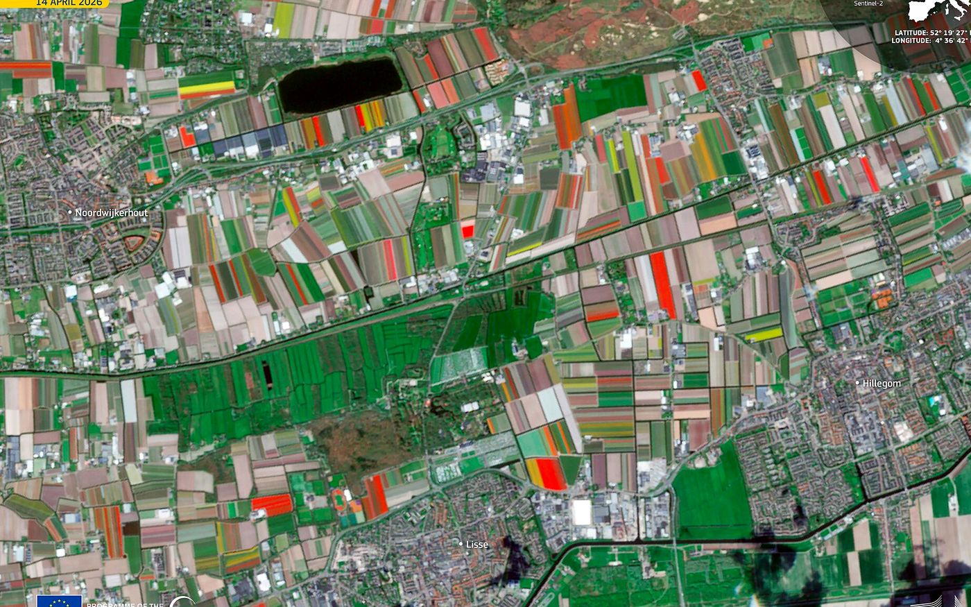
Tulip fields in South Holland from Sentinel-2
Agriculture

Every field, every week

Track crop health, planted area and irrigation across farms of any size.

  • Vegetation and water-stress indices
  • Crop type and area mapping
  • Yield and harvest signals
Energy & utilities

Assets you cannot visit daily

Pipelines, transmission corridors, solar and wind farms watched for encroachment and change.

  • Corridor and vegetation monitoring
  • Construction progress on new plants
  • Flaring and heat with thermal and night data
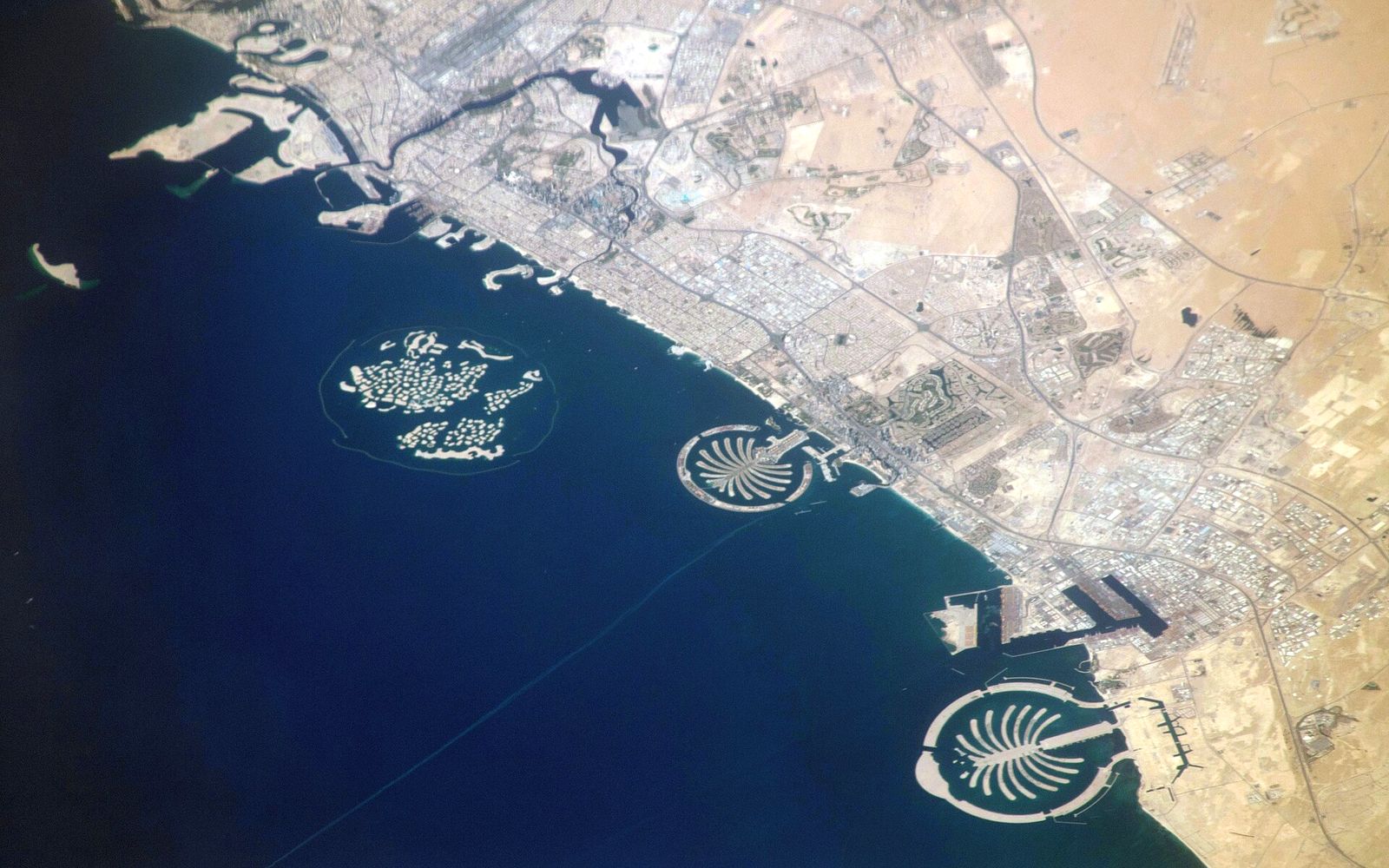
Palm Jumeirah and Dubai coast from the ISS
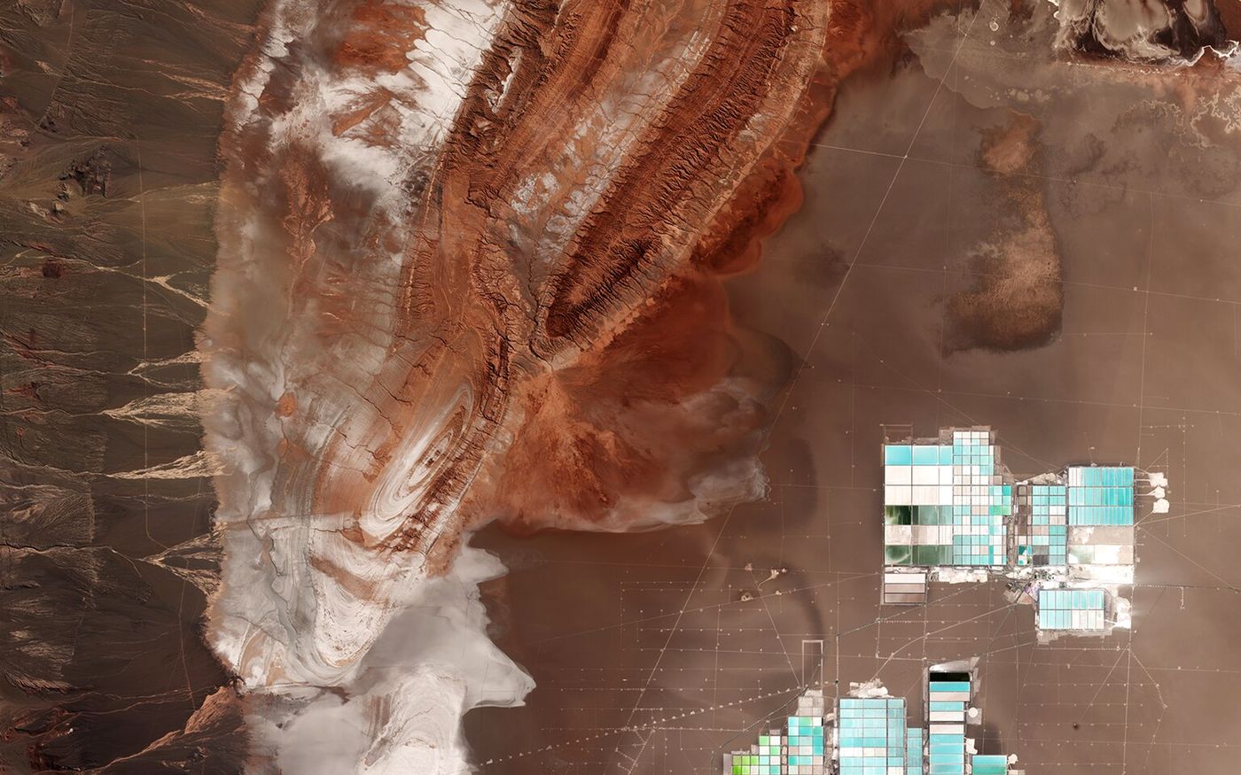
Salt flats and lithium ponds in the Atacama
Mining

Measured from above

Pits, heaps and tailings measured on a schedule, without a survey crew on site.

  • Stockpile and excavation volumes
  • Tailings dam movement with radar
  • Exploration with hyperspectral data
Maritime & ports

Ships in any weather

Radar sees vessels and oil slicks at night and through storms.

  • Vessel detection and port activity
  • Oil spill mapping
  • Coastline and dredging change
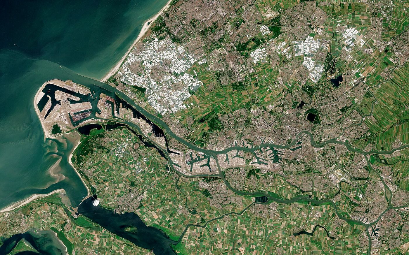
Port of Rotterdam from Sentinel-2
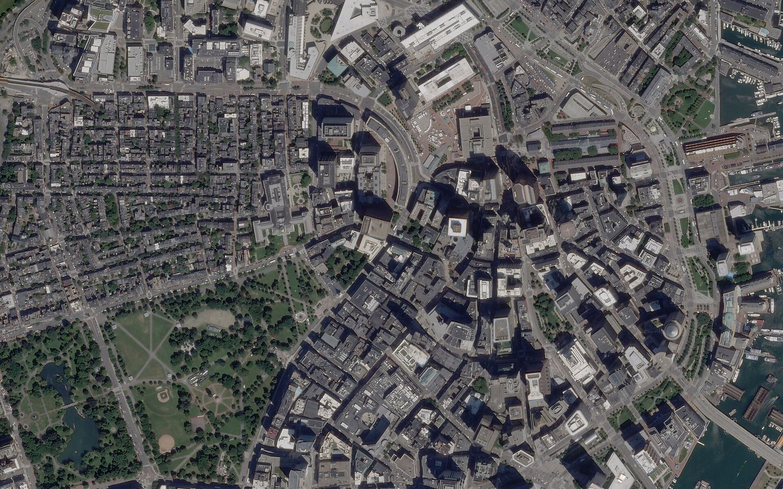
Central Boston at about 50 cm
Construction & infrastructure

Progress you can date

A dated image of every site each month, compared with the plan.

  • Monthly progress reports
  • Earthworks volumes
  • Roads, rail and bridges watched for change
Forestry & environment

Decades of evidence

Forest loss, wetlands, glaciers and coasts compared across fifty years of archive.

  • Deforestation alerts and reporting
  • Carbon and biodiversity baselines
  • Glacier, ice and shoreline change
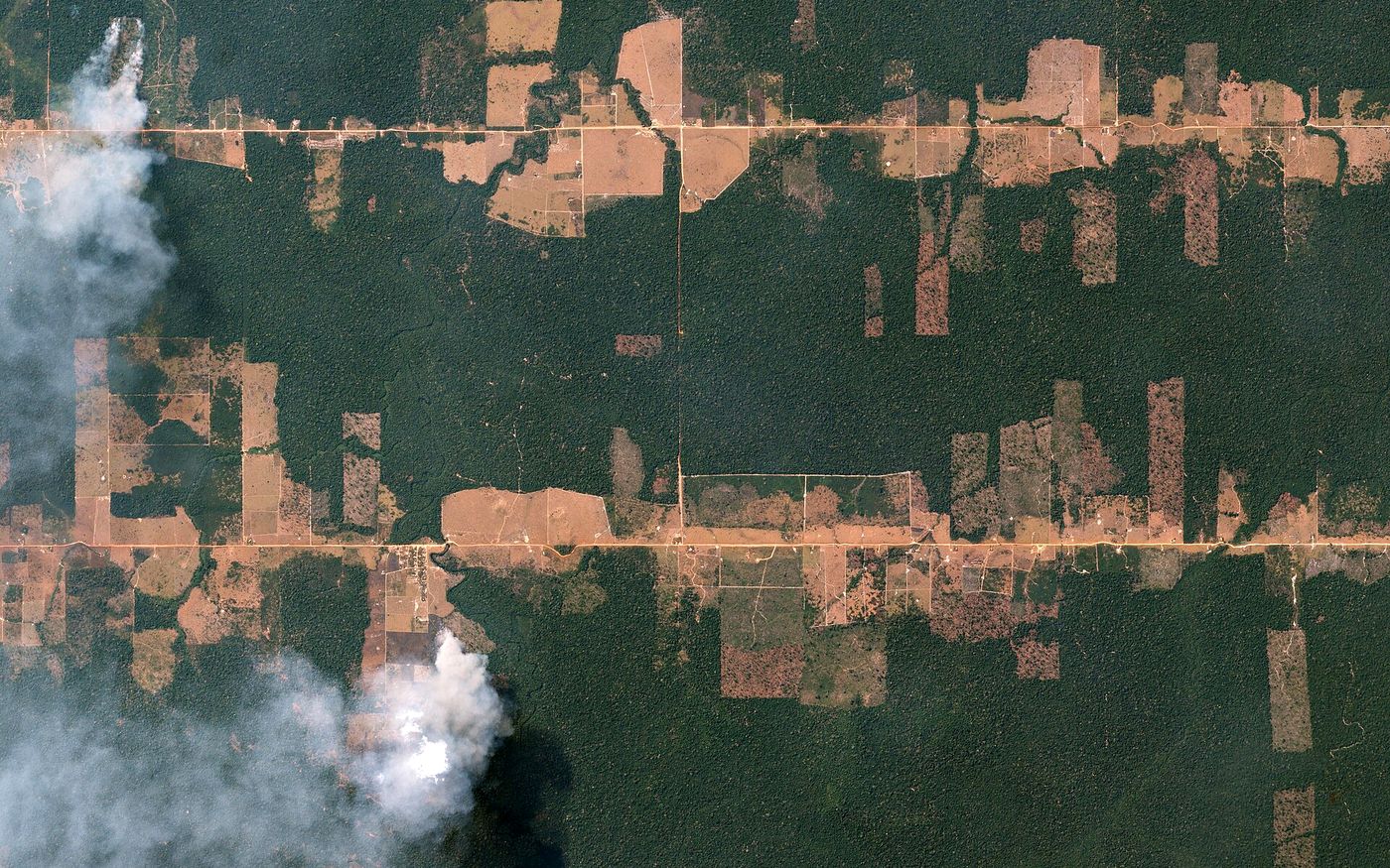
Fishbone deforestation in Rondônia
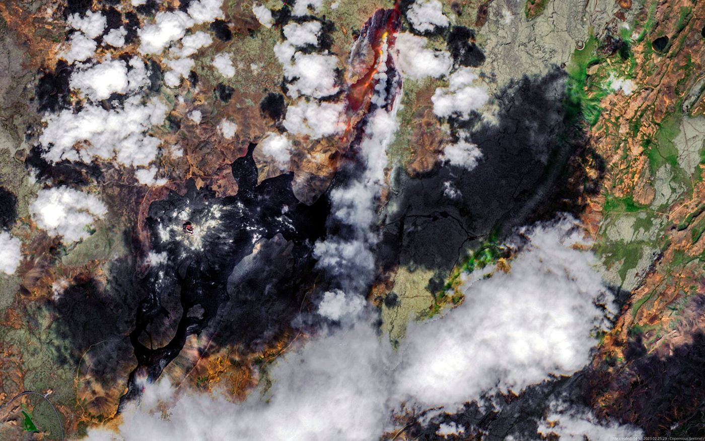
Litli-Hrútur lava flow in Iceland
Insurance & finance

Before and after

See exposure before you underwrite and damage after an event, without waiting for access.

  • Pre-event exposure baselines
  • Rapid damage assessment
  • Activity indicators for investment research
Government & cities

Maps that stay current

National mapping, urban planning and informal growth, kept up to date.

  • Base maps and orthomosaics
  • Urban growth and land use
  • 3D city and terrain models
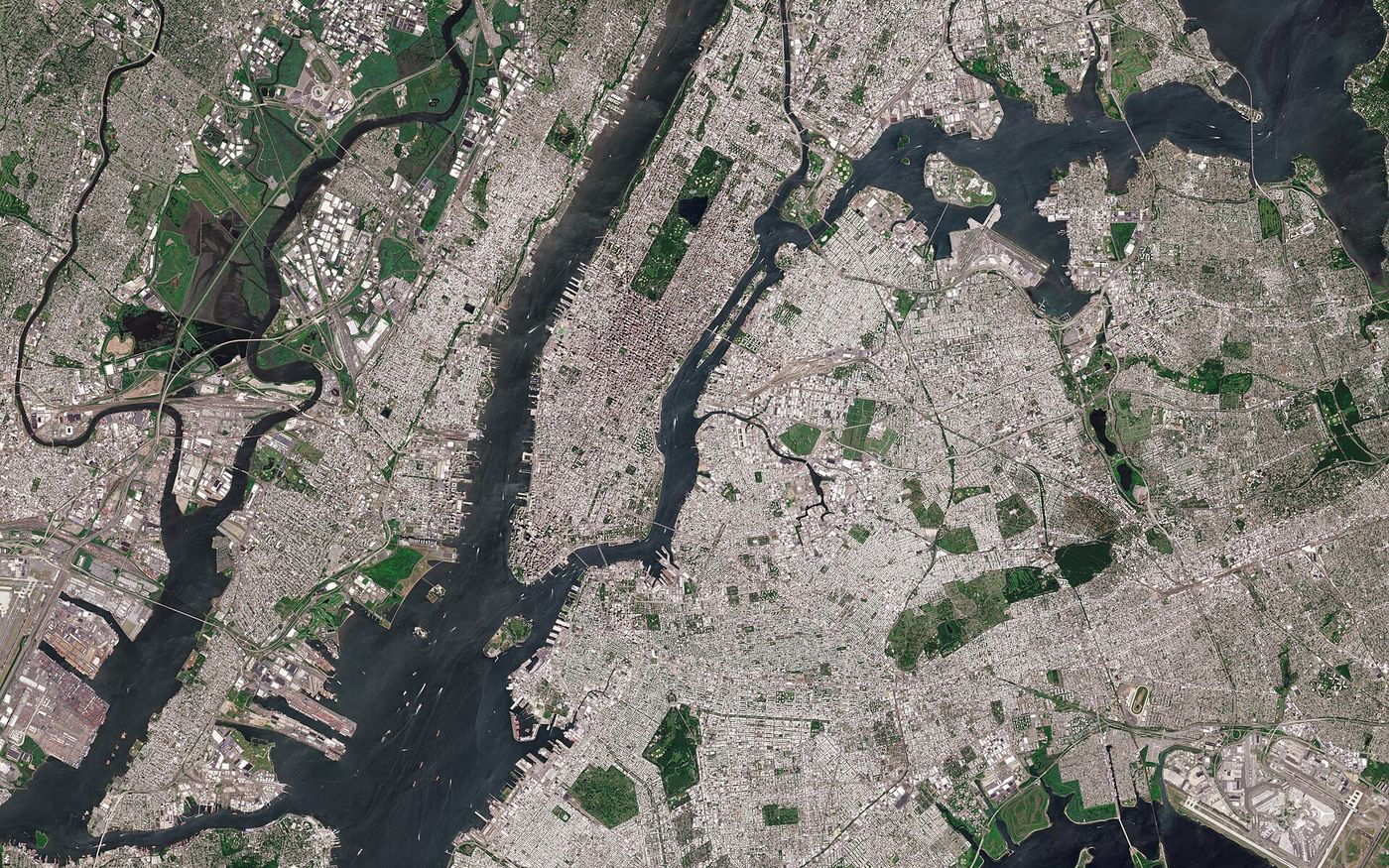
New York City from Sentinel-2
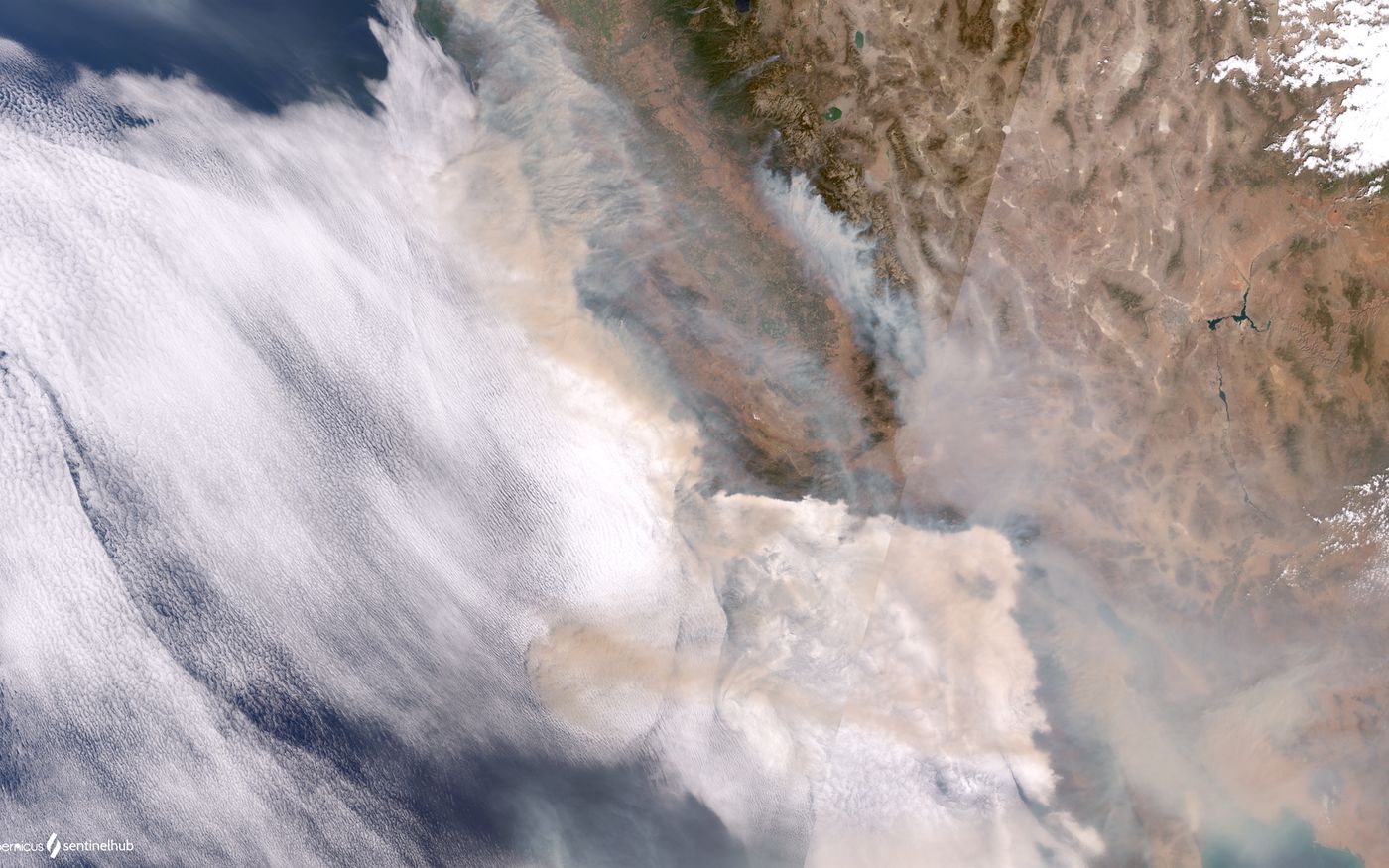
Wildfire smoke over the US Pacific coast
Emergency response

Seen fast

Floods, fires, earthquakes and storms imaged at the next possible pass, by radar when cloud hides the ground.

  • Emergency tasking
  • Flood and burn extent maps
  • Damage and access assessments
The SatBytes portal

Search it yourself

Archive search, new captures and your orders are all in the portal.

Can't find what you need? Ask for a quote