Home/Imagery
Imagery of anywhere
Buy what has already been captured, or send a satellite to capture something new. Every sensor type, every resolution, one order.
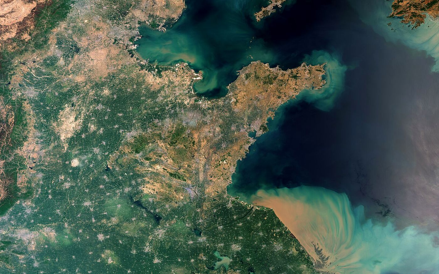
Already captured
Most places on Earth have been photographed from orbit many times. Archive scenes are the fastest and cheapest way to see a site: we search every catalogue at once and show you each capture with its date, resolution and cloud cover.
- Optical archive from 30 cm, radar archive from 25 cm
- History back to 1972 for long-term change
- Cloud-free scenes chosen and checked for you
- Usually delivered within one working day
Captured for you
When you need a fresh picture, we book a satellite to capture your area on the dates you choose and follow the order until the files arrive.
- Standard: a capture within your window, at the best price
- Priority: placed ahead in the operator's schedule
- Emergency: the next possible pass, for disasters and incidents
- Monitoring: repeat captures weekly, monthly or on a set calendar
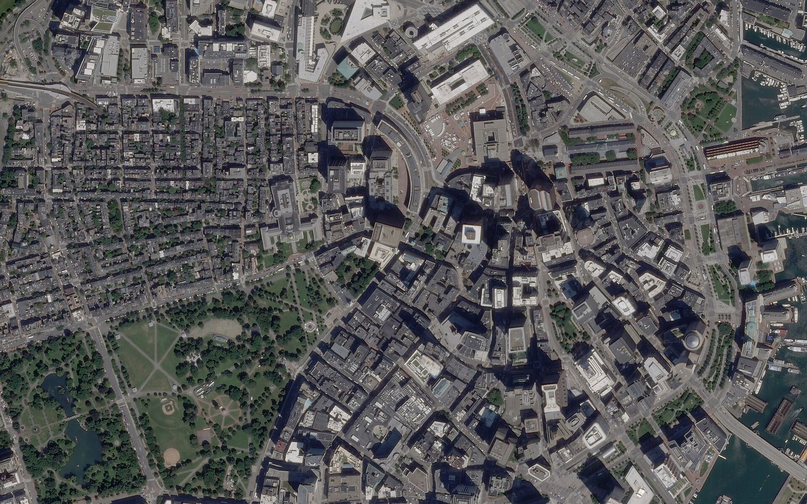
Choose by what you need to see
Typical figures across commercial and public constellations. We match the sensor to the question, not the other way round.
| Data | Detail | Best for | Works | Typical revisit |
|---|---|---|---|---|
| Very high resolution optical | 30 – 70 cm | Buildings, vehicles, construction, mapping | Daylight, clear sky | Daily with several satellites |
| High resolution optical | 1 – 5 m | Large areas, monitoring, land use | Daylight, clear sky | Daily |
| Radar (SAR) | 25 cm – 20 m | Ships, floods, ground movement, cloudy regions | Day, night, any weather | Daily or better |
| Multispectral | 3 – 30 m | Crops, vegetation, water quality, burn scars | Daylight | 1 – 5 days |
| Hyperspectral | 5 – 30 m | Minerals, methane, crop stress, pollution | Daylight | On request |
| Thermal | 3.5 – 100 m | Heat loss, industry, fires, water temperature | Day and night | Days |
| Night lights | 40 – 750 m | Activity, outages, growth, flaring | Night | Nightly |
| Elevation models | 50 cm – 30 m | Volumes, flood risk, terrain, 3D cities | Stereo or radar pairs | On request |
How much detail do you need?
Sharper costs more. Slide to see the same 120 by 80 metre patch at each resolution.
Very high resolutionPaid
Cars, road markings, single trees and roof details.
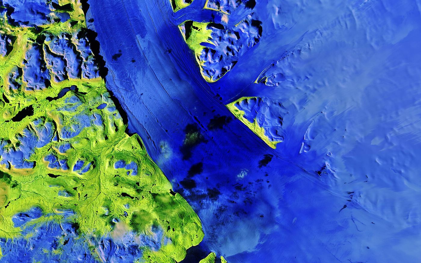
Free, and searchable first
Sentinel-1, Sentinel-2 and Landsat cover the whole planet every few days at no charge. Start there to understand a site, then buy higher detail only where you need it.
- Sentinel-2: 10 m, 13 bands, every 5 days
- Sentinel-1: radar, any weather
- Landsat: 30 m, back to 1972
Ready for your software
- FormatGeoTIFF
Orthorectified, georeferenced, with full metadata. Also JPEG2000 or PNG on request.
- LevelsRaw to ready
From raw sensor data to pan-sharpened, analysis-ready reflectance.
- VectorsGIS layers
Analysis as GeoPackage, shapefile or KML, with a short report.
- AccessDownload or cloud
A secure link, or delivery to your own cloud storage.
Search it yourself
Archive search, new captures and your orders are all in the portal.
Can't find what you need? Ask for a quote